KASA unveils early operational results for CAS500-2 and CAS500-4 satellites
The Korea AeroSpace Administration showcased high-resolution imagery from the land and agriculture/forestry satellites, set to be transferred to national operations centers within the year.
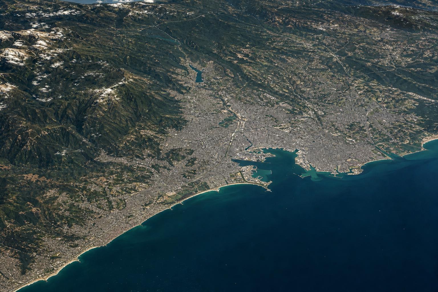
The Korea AeroSpace Administration (KASA), together with the Ministry of Land, Infrastructure and Transport, the Rural Development Administration and the Korea Forest Service, on Oct. 1 released early operational results for the CAS500-2 land satellite and CAS500-4 agriculture and forestry satellite.
During a press briefing, KASA presented imagery captured by the two satellites and explained how the data will be used on the ground. The CAS500-2 was launched on May 3 aboard a Falcon-9 rocket, and the CAS500-4 was launched on July 7, also on a Falcon-9.
According to KASA, the satellites have stably acquired high-resolution imagery for land and resource management, disaster response, agricultural land, crop growth and forest resources during their initial operation phase.
Both satellites are scheduled to complete initial operations within this year and will then be transferred to KASA's National Satellite Operations Center for full mission operations.
CAS500-2 imagery will be used by the Ministry of Land, Infrastructure and Transport's National Land Satellite Center, while CAS500-4 data will be used by the Rural Development Administration's Agricultural Satellite Center and the Korea Forest Service's National Forest Satellite Information Utilization Center.
The released images included domestic and international cities, landmarks, agricultural land and forests. CAS500-2 has a resolution of 0.5 meters in black-and-white and 2.0 meters in color, allowing it to distinguish types of parked vehicles on the ground, KASA said.
CAS500-2 will operate simultaneously with CAS500-1, shortening the observation cycle and improving land observation performance. Images shown at the briefing included Dokdo, Seoul Sports Complex, Niagara Falls in the United States and Star Lake City in Hanoi, Vietnam.
CAS500-4 has a 120-kilometer swath width and can capture the entire Korean Peninsula in just three days. The briefing also presented agricultural and forestry application cases based on CAS500-4 wide-area imagery.
The Rural Development Administration demonstrated crop cultivation and harvest area estimation, crop growth vitality and vegetation condition analysis. The Korea Forest Service showed large wildfire damage analysis, forest vegetation analysis and pine wilt disease control target mapping.
The government plans to link satellite observation information with related ministries and public institutions for public services including land and resource management, disaster response, agricultural land and crop monitoring, supply management, forest management and wildfire and landslide response.
KASA Administrator Oh Tae-seok said the images captured by CAS500-2 and CAS500-4 are an important achievement showing what value Korean satellite technology can provide to the public.
Vice Minister of Land, Infrastructure and Transport Kim I-tak said the successful development of the CAS500 series is a result of inter-ministerial cooperation and a representative example of public R&D outcomes spreading to private industrial capabilities.
Kim also noted that the follow-on CAS500-3 and CAS500-4 land satellite development project passed a preliminary feasibility study on Aug. 26, with launch targets of 2030 and 2031 respectively.
Rural Development Administration Administrator Lee Seung-don said the agency will use satellite imagery and artificial intelligence to more accurately diagnose farmland use changes, crop area and growth, and expand services for agricultural supply and disaster response.
Korea Forest Service Minister Park Eun-sik said the CAS500-4 will allow faster reading of forest changes and earlier detection of risks, including wildfire damage, landslide risk areas and post-disaster forest recovery.