Korea Joins Board of International Charter on Space and Major Disasters
KASA will participate in charter policy from 2027, strengthening Korea's role in global disaster response using satellite imagery.
The Korea AeroSpace Administration (KASA) announced on Oct. 21 that it has joined the board of the International Charter: Space and Major Disasters, an international cooperation body that provides satellite imagery to countries affected by major disasters.
KASA Administrator Oh Tae-seok attended the 56th regular board meeting of the charter held at Ochanomizu Sola City in Tokyo, Japan, where the agency became a board member, according to a KASA press release.
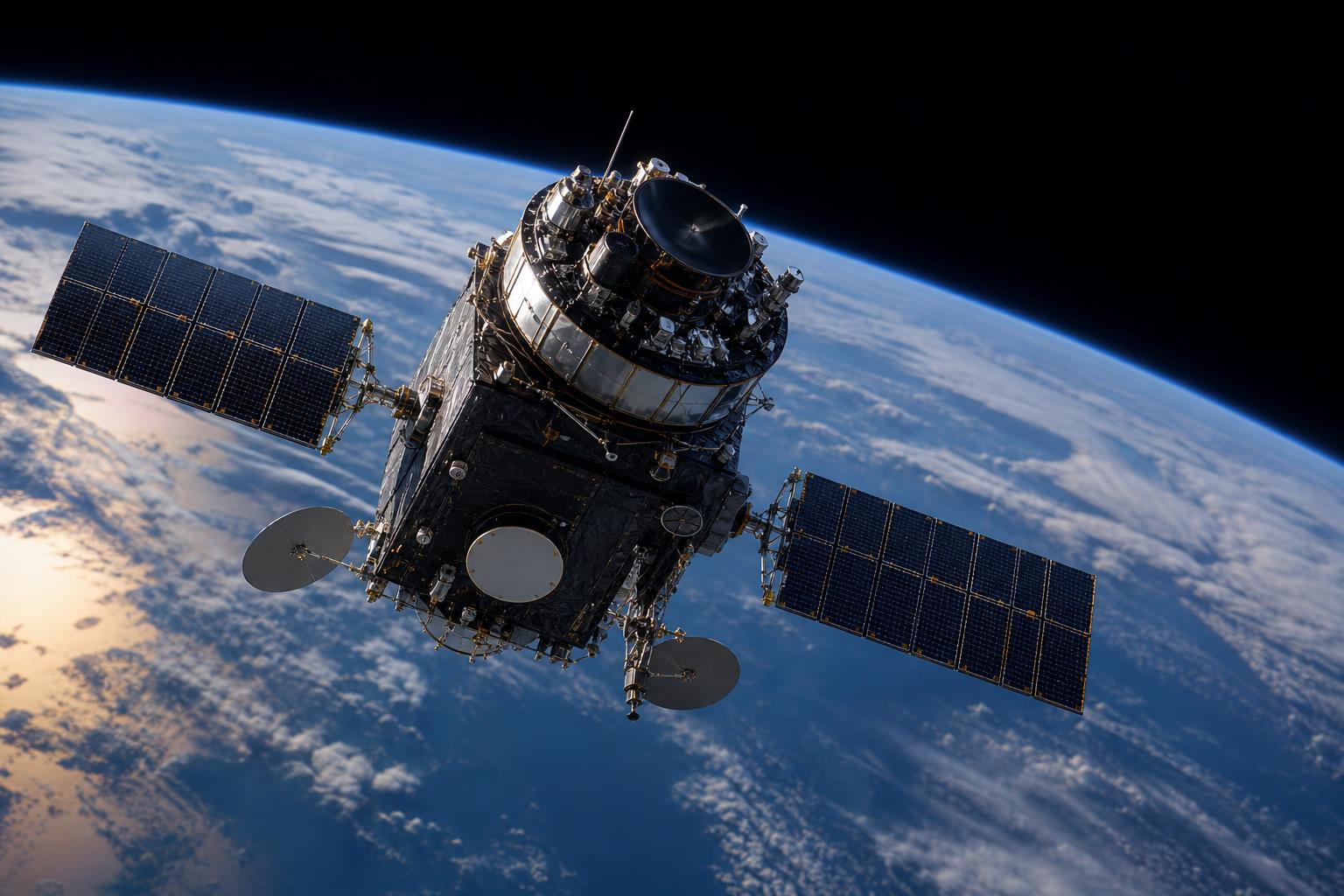
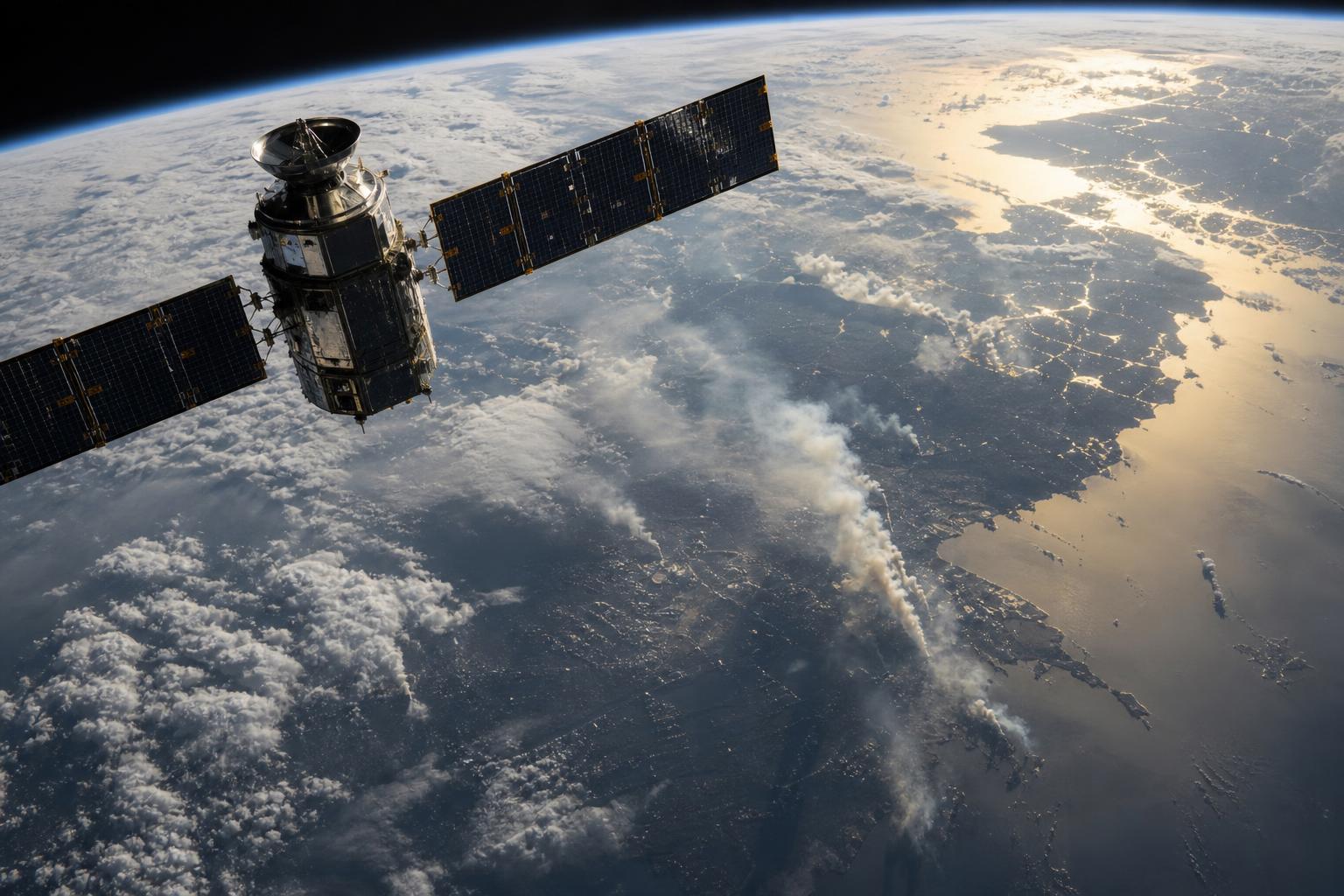
The charter is an international cooperation organization that, when global disasters such as earthquakes, typhoons, or heavy snow occur, provides imagery captured by satellites of member agencies to affected countries and supports analysis of damage areas. Seventeen organizations, including the European Space Agency (ESA) and the U.S. National Oceanic and Atmospheric Administration (NOAA), participate in the charter.
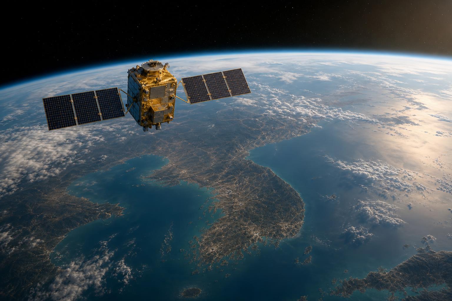
Korea joined the charter in 2011 through the Korea Aerospace Research Institute (KARI). Since then, Korea has contributed to international disaster response by providing imagery captured by national satellites to affected countries during overseas disasters. Korea has also received rapid support of foreign satellite imagery through the charter during domestic disasters.
As a board member, KASA will participate in charter policy from 2027. KASA plans to enhance its diplomatic and policy standing as the control tower for national space and aerospace policy and industry, and to strengthen global disaster response capabilities more systematically together with KARI, which carries out the charter's practical work.
Oh Tae-seok said, "With the accession to the board of the International Charter, we will further solidify our national responsibility and leadership in contributing to international disaster relief activities, and contribute to overcoming disasters worldwide through accurate and rapid sharing of satellite information."