CONTEC verifies AI super-resolution on KOMPSAT-3A and WorldView-3 imagery
The Korean space-data company says the technology sharpens satellite images for defense, disaster monitoring and urban development, with export plans.
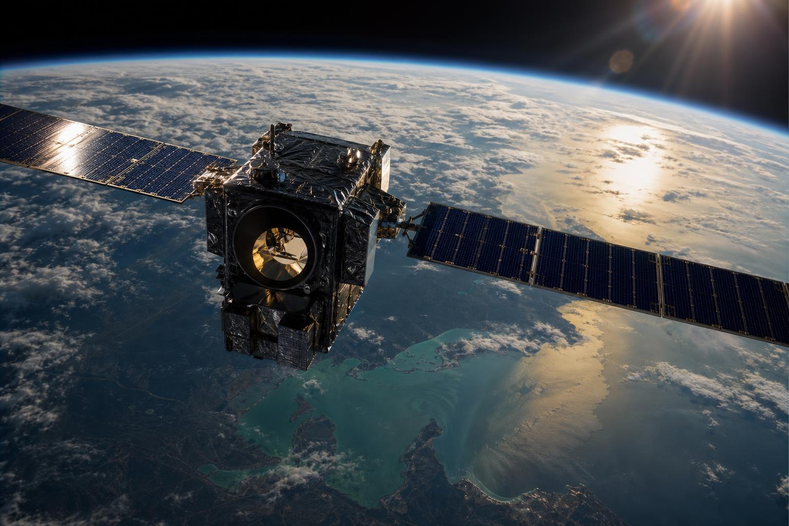
South Korean space-data company CONTEC said it has secured core AI-based super-resolution technology for satellite imagery, verified using real images from Korea’s KOMPSAT-3A and the U.S. commercial Earth-observation satellite WorldView-3, Newsis reported.
The technology was developed jointly with a domestic institution over about two years, according to Newsis. It applies AI algorithms to original satellite imagery so that ground structures appear clearer, with the AI learning terrain and object patterns from the images.
The approach was developed for imagery with spatial resolutions including 1m, 50cm and 30cm, making it a general-purpose model not limited to one satellite’s data, Newsis reported.
CONTEC plans to combine the AI technology with its existing services to strengthen satellite image-processing solutions and to export the technology to overseas satellite operators and related service companies, according to Newsis.
TheBell reported that CONTEC intends to expand the technology into high-value satellite information services for national defense and security, disaster monitoring and urban development.